Demand-Side Platform (DSP) Concepts
Demand-Side Platform (DSP) Concepts is a frameworks for automated purchasing of digital advertising inventory.
Data Engineering and Big Data
Projects building data pipelines, warehouses, lakes, and large-scale analytics infrastructure.
Demand-Side Platform (DSP) Concepts is a frameworks for automated purchasing of digital advertising inventory.
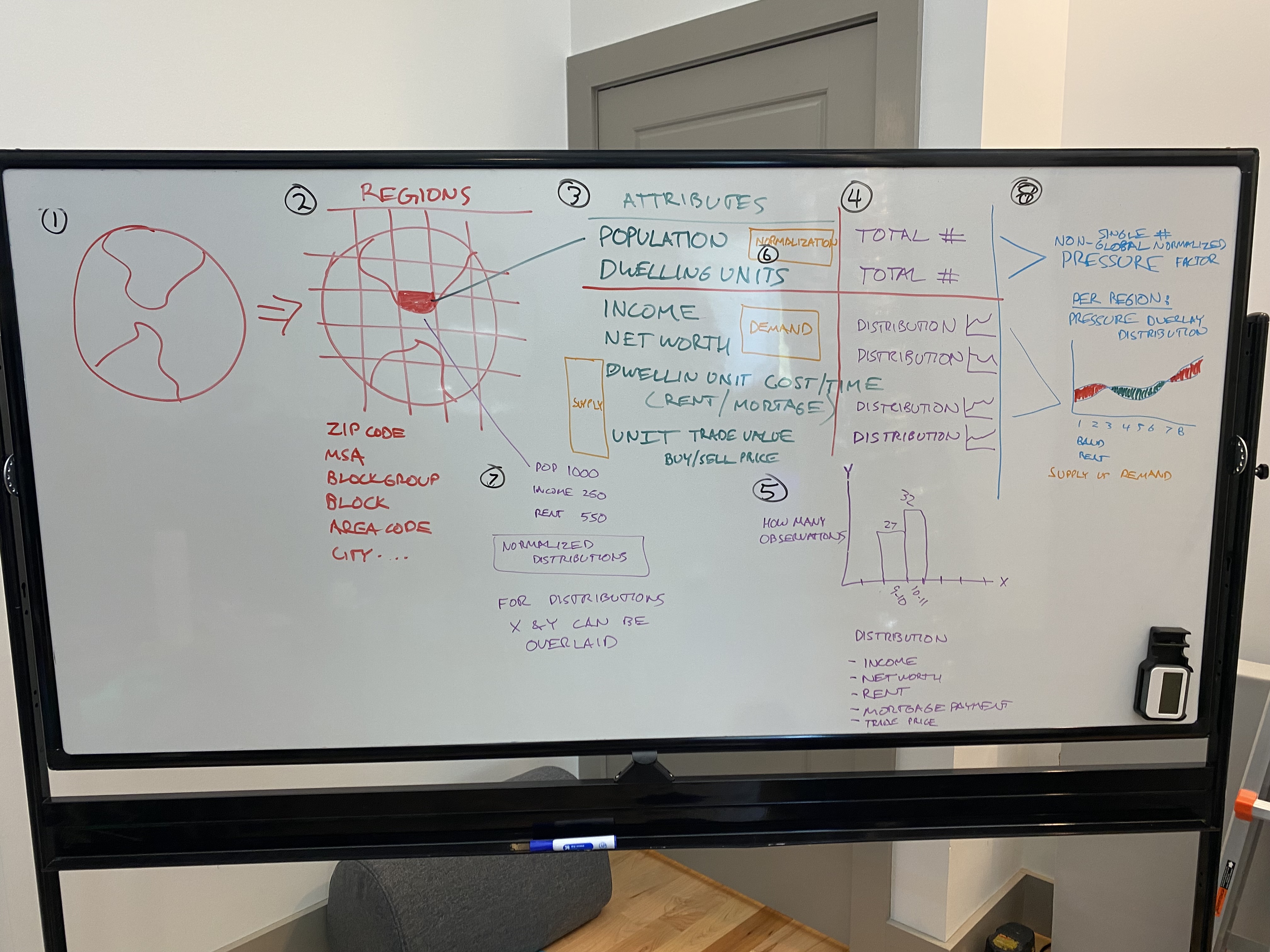
Geographic Information Systems (GIS) is a systems for capturing, analyzing, and visualizing spatial and geographic data.
A geospatial risk model built on mobile location observation data, so a utility inspection company could prioritize poles by how many people a failure would actually affect.
Systems model physical space using coordinates, polygons, and clustering to derive insights and build products from location data.
Spatial systems represent and analyze location-aware data so geographic relationships can be integrated into products and decisions.
Google BigQuery is a serverless data warehouse for large-scale analytics.
MongoDB is a noSQL database for flexible document storage.
MySQL is a relational database management system.
PostgreSQL is an advanced open-source relational database.
Managed proprietary and sensitive big datasets in Google Cloud using GCS, BigQuery, and Composer (Apache Airflow). Built Confluence documentation from scratch...